
Using artificial intelligence to deliver insight on roads at scale
GlobalRoads (GlobalRoads.Ai) is the collective name for a series of data products that utilise AI technologies such as Machine Learning (ML) and Computer Vision (CV), plus other advanced processes to help people understand the nature of roads in their country. Developed initially to support data collection at low costs in Low and Middle Income Countries (LMICs) our scalable technologies are delivering insight at a large scale for entire countries, or to support smaller scale projects on corridors or in smaller regions.
Our aim is to make sure that the data we provide is easy to understand and explainable with certification provided by IRAP for individual road attributes. We are also pushing forward with experimental attributes that are testing new technologies and data sources to unveil previously hidden information about roads and the people that use them.
Currently we are providing two specific measures that are essential to road safety risk management; traffic flow and vehicle speeds. The two data types are essential in measuring performance toward the UN road safety targets 4 and 6. Specifically this enables countries to identify the roads carrying most traffic so they can direct investment, and begin to measure vehicle speeds across these networks with a view to improving compliance.
We will continue to add new data on road attributes and area characteristics to support the measurement of Safety Performance Indicators (SPI) and well as road assessments.
Our basic package offers single-pass results for entire networks, or multi-pass outputs for more in-depth studies at a local level.
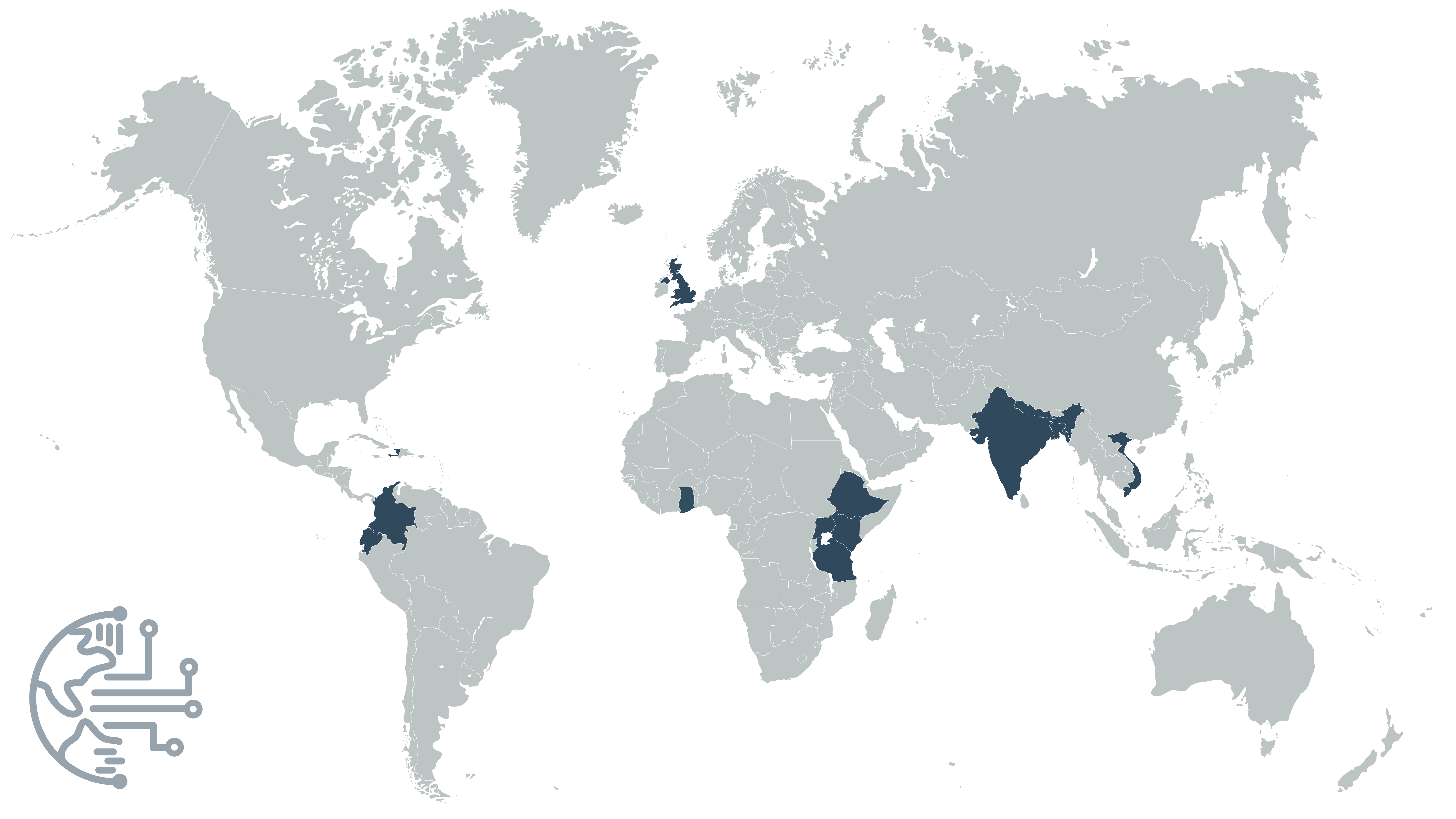
To date we have delivered data using this methodology to 11 countries on four continents.

Local Analysis
[Per 50km]
Price based on single, continuous road or network supplied by the client with 5x sampling
Network Analysis
[Per 10,000km]
Includes client consultation and network management